Redoubt of Martray
History and description
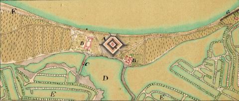
The first fortification on the site of Ars-en-Ré dates from 1627, under Louis XIII. The fort de Martray there was constructed in order to block access to the isthmus linking the îsle of Ars to the îsle of Rhé. It was formed of a square redoubt on the diagonal, preceded by two bastioned fronts in the low outline barring the isthmus and a spur to break the beaches at the side of the ocean.In 1680, the engineer Francis Ferry proposed to reinforce its defences. Vauban rejected this project and decided to raze all the exterior work, leaving only the redoubt in 1681. His decision was implemented in 1685.
In the 18th century, the redoubt was downgraded but reinstated after 1805 and the Battle of Trafalgar. In 1942, it was included in the Atlantic Wall, the German army installed a flanking device there, armed with an anti-tank gun, to monitor the inlet and the Martray beach.
Current state
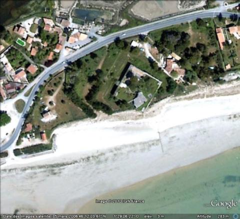
The redoubt of Martray still exists and is relatively well preserved. However, it was covered in masses of concrete during the Occupation. Today, it is private property and no longer accessible.
Redoute de Martray
Redoute de Martray
46° 12' 4.491" N, -1° 29' 5.2372" E

